Address Pairs
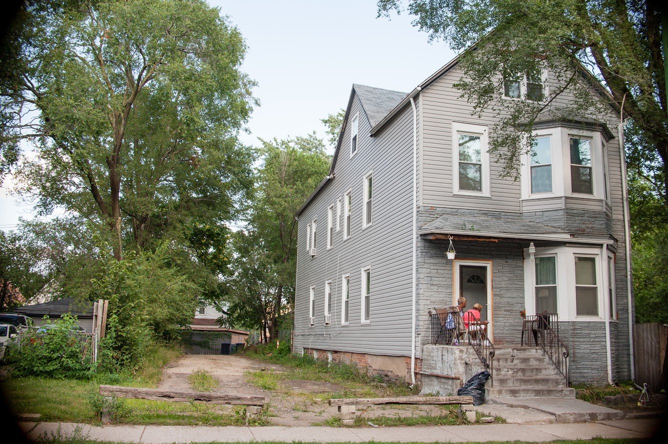
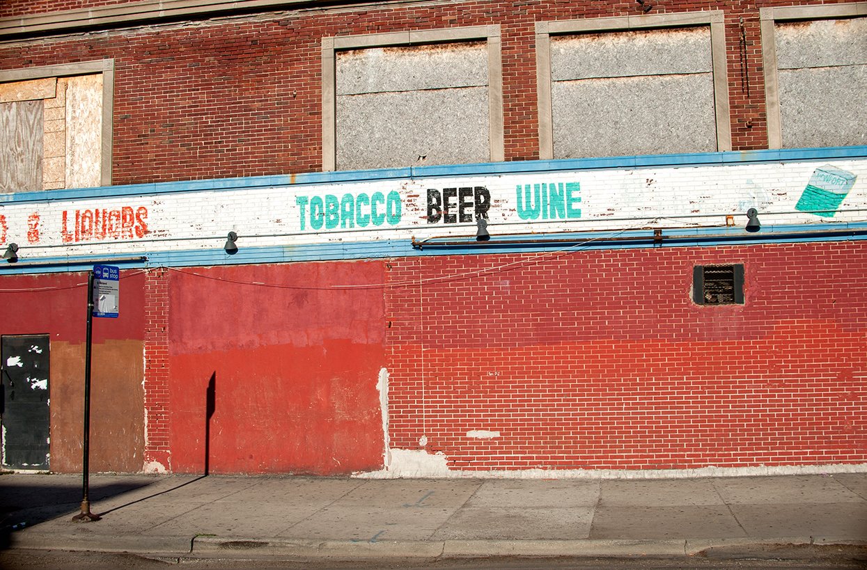
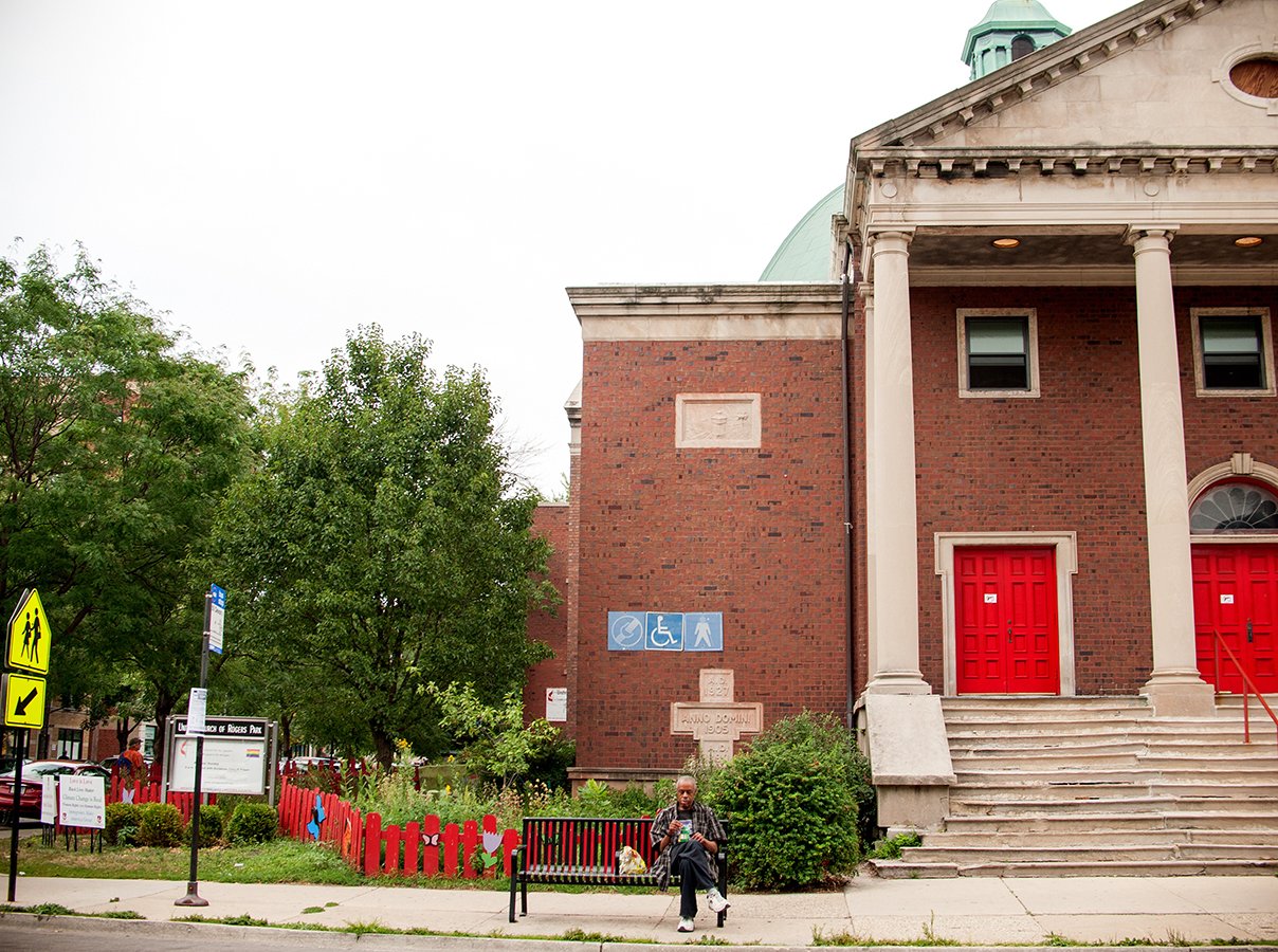
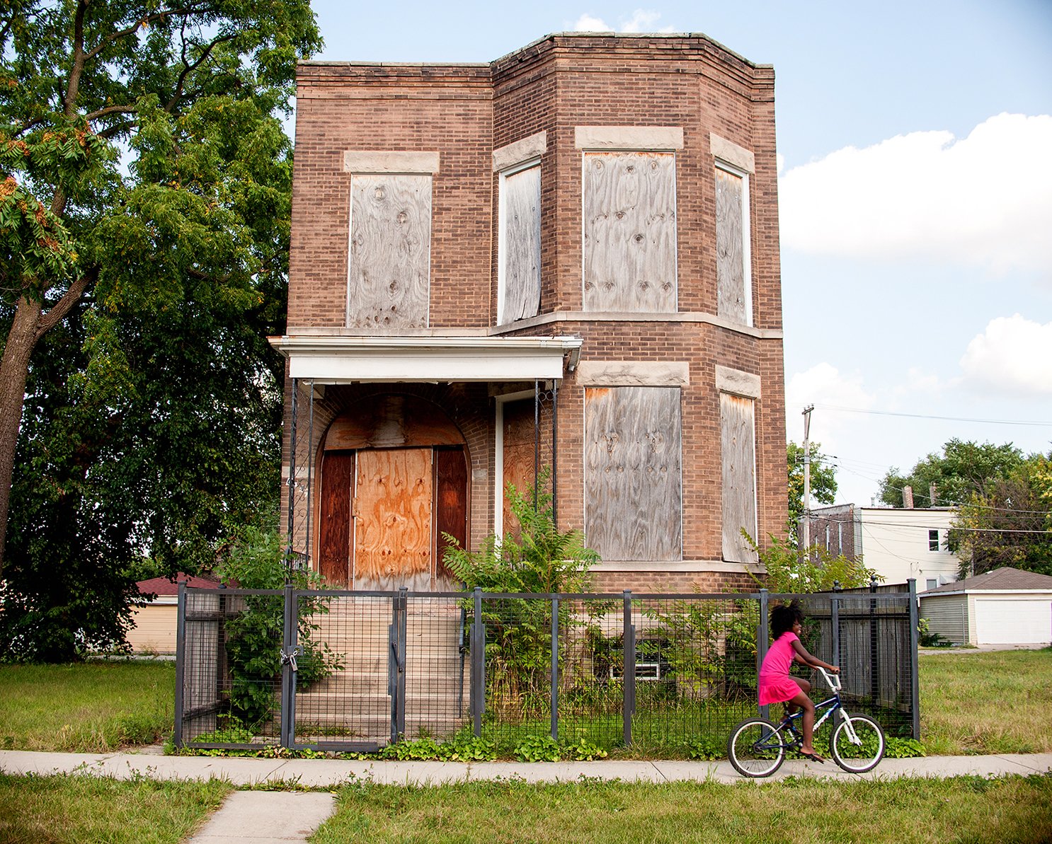
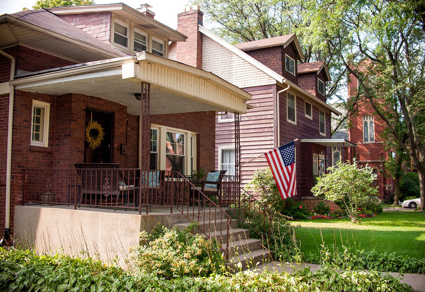
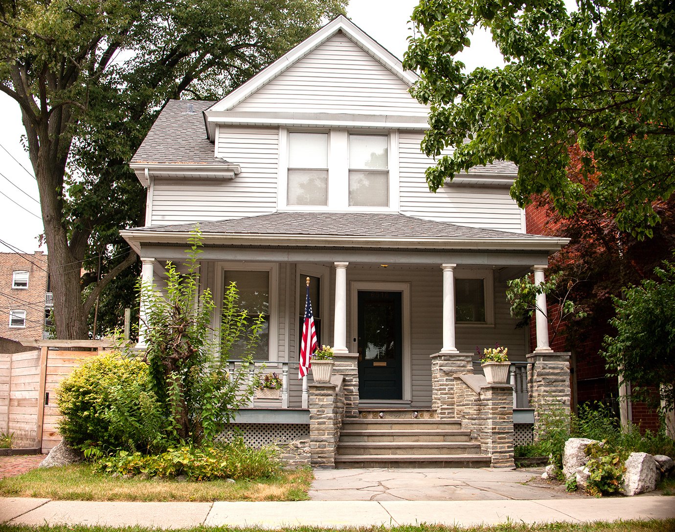
Tonika started the Folded Map Project as a visual investigation of Chicago’s neighborhoods, using the grid system to identify and directly compare photographs and videos of North and South side blocks (such as the 6900 block of North Ashland in Rogers Park and the 6900 block of South Ashland in West Englewood). Below are some samples from the exhibition (move slider to compare).
“Essentially, I wanted to reveal the inequity…a way that would be visually captivating for people to understand how Chicago’s legacy of segregation has impacted the neighborhoods.”
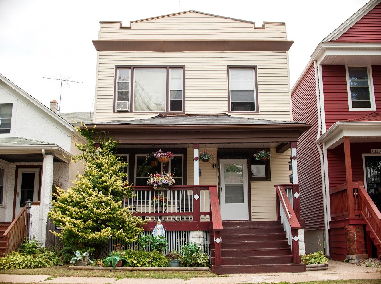
6135 S. Wolcott and 6129 N. Wolcott
6900 S. Ashland and 6925 N. Ashland
6329 S. Paulina and 6330 N. Paulina
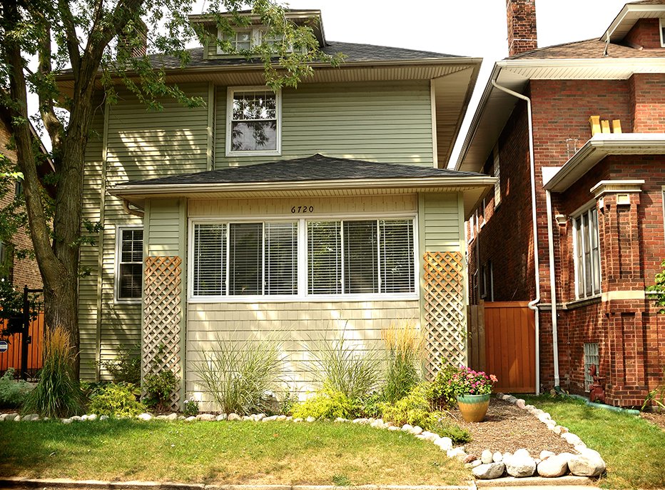
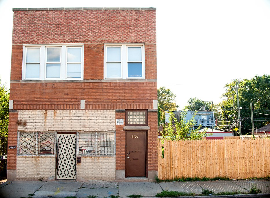
6720 S. Ashland and 6720 N. Ashland
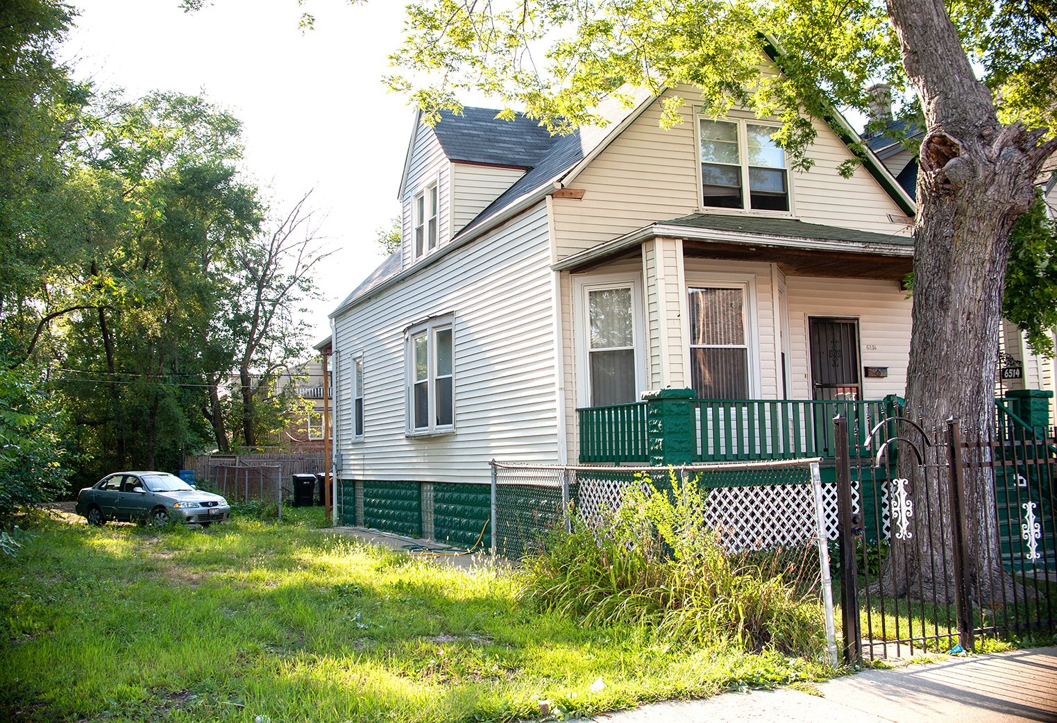
6514 S. Damen and 6516 N. Damen
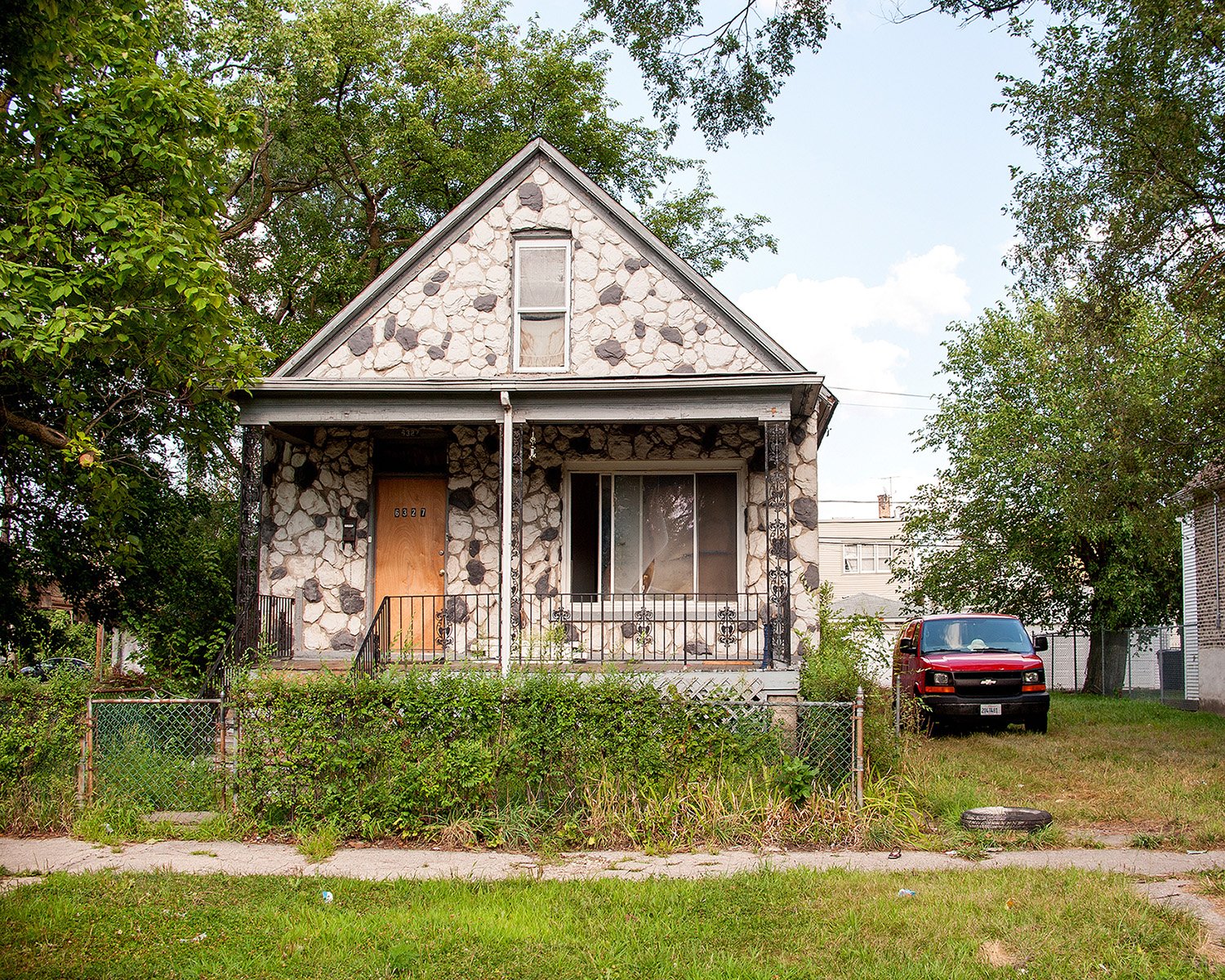
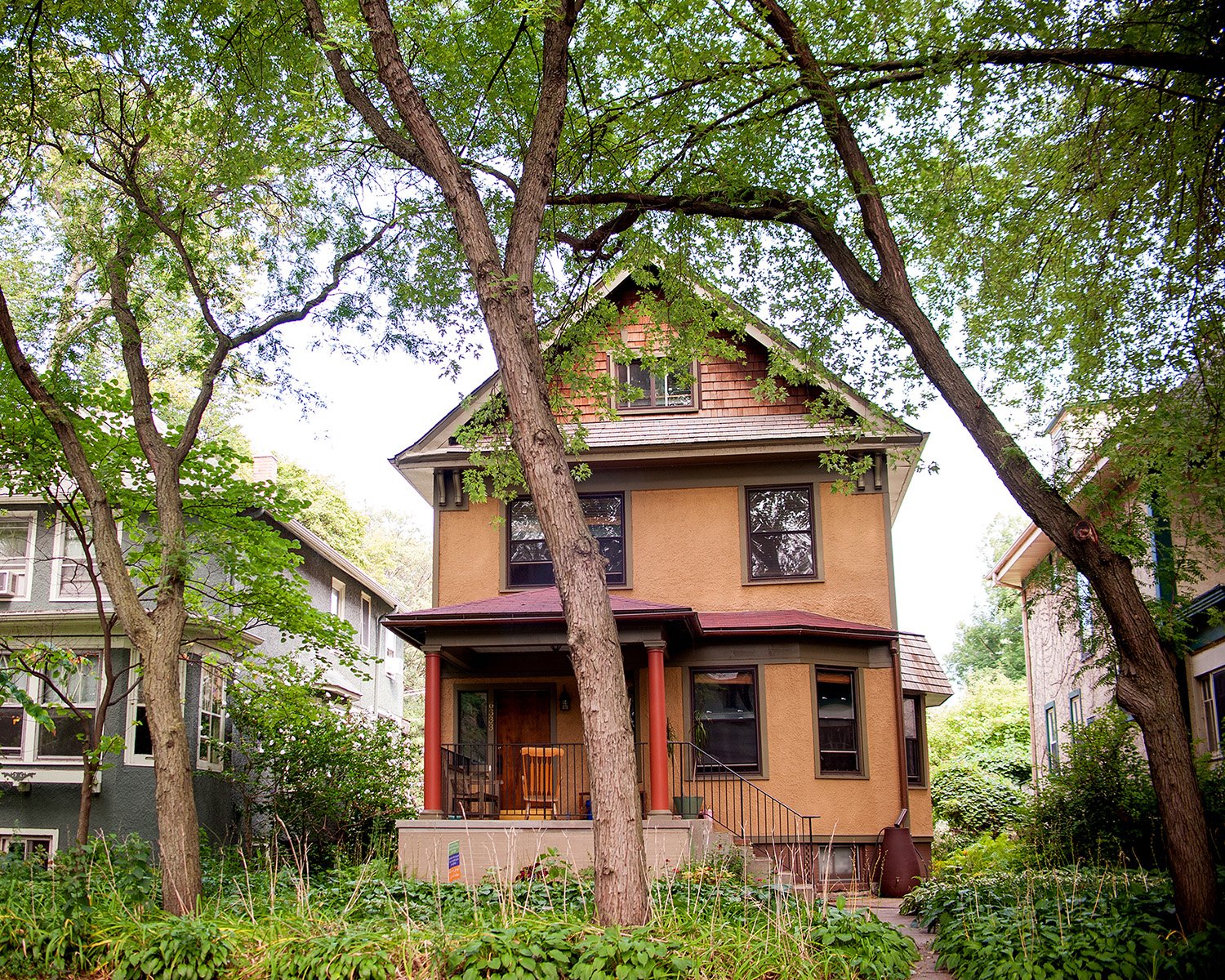
6327 S. Hermitage and 6333 N. Hermitage